Tignes Val d’Isere Snow Report & Weather Forecast – 10.02.16
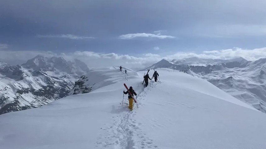
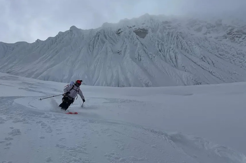
After 15-30cm (low/high) in the 24 hours to 8am there was a lot of snow out here in Tignes – Val d’Isere. Unfortunately it was blowing a gale and continued to snow lightly through the day, making it very difficult to ski. So as a group we decided to do some practical transceiver training out on the Palafour in Tignes, but not in the teeth of the gale. There was the occasional peep at the sun so we did get couple of off piste runs in – the snow was remarkably good, on piste likewise, but again it bumped up during the day. None of the links or high lifts opened in either Tignes or Val d’Isere – a poor week for the altitude restaurants.
The snow will continue until the small hours of tomorrow and the wind will progressively quieten. So tomorrow may be the best day of the week as we are expecting some sunny periods in the morning, but it will still be very cold. The cloud will thicken through the evening and it will start snowing by the middle of the night. Friday will be snowy and the wind will blow again from early afternoon. The snow level will be down in the Valley – another survival day. Saturday will start with light snow and this will get thicker through the day. The winds should also pick up in the afternoon, but the snow level will rise to about 1300m. So if you are driving leave early and if you do not have snow tyres make sure you have chains – I am almost certain the police will be stopping anybody leaving without them. Sunday will be snowy and windy with the snow line rising a bit. The unsettled weather looks like continuing right into next week.
Check the which lifts are open now on the LIVE pages for Tignes, Val d’Isere, Les Arcs, La Plagne, Sainte Foy, La Rosiere.
Check our main LIVE page for Geneva flight arrivals and departures.
Find live road traffic info on our main LIVE page.